Example of a Cape Landform:
A cape is a portion of land that differs in shape from the rest of the coastline and extends for a substantial distance into the ocean or another large body of water
Volcanic activity, glaciers, wave action and changes in sea level may all help to form capes.
Capes are common on ocean coastlines around the world and can also be found on other large bodies of water.
Cape Cod, Massachusetts, USA
Cape Canaveral, Florida, USA
Cape of Good Hope,
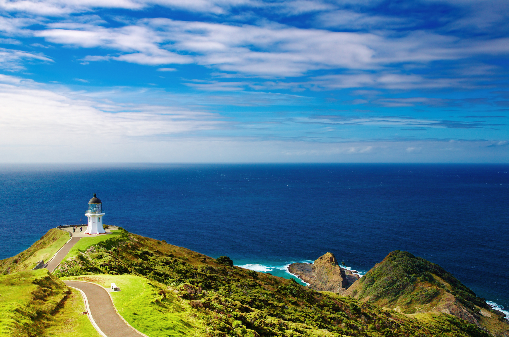
Cape Cod on the coast of Massachusetts is a popular historic tourist area with beaches, towns and villages that offer good restaurants, recreational fishing, swimming and other activities. The Cape extends 65 miles east into the Atlantic Ocean, the outer portion turning northward and bending toward the west like a hook.
Cape Cod Canal is 17.5 miles long artificial channel that was constructed for boat traffic. It crosses the cape not far from where the cape leaves the main coastline. Cape Canaveral is famous as the location of the Kennedy Space Center. This permits a launch over the ocean to minimize risk to people on the ground.
The rockets ascend eastward over the Atlantic, taking advantage of the Earth’s rotation to reach orbit velocity. The Cape of Good Hope has been an important way point on the way around the tip of Africa to the Indian Ocean. This has caused many people to believe the Cape is on the southern tip of Africa.
The Cape of Good Hope is actually a rocky point that marks the end of the Cape Peninsula that extends from the western Coast of South Africa. At this point, the coastline begins to turn eastward toward the southern tip of Africa. Once passing the Cape, a ship can travel more easterly than south on its way to the Indian Ocean.
A substantial part of the coastline with a change in shape and direction, extending into the ocean or other large body of water
See also headland and peninsula
We want pictures and location of the lanforms around the world and we need your help. Click get started button below.

In Asia, China, India, Nepal, and Bhutan are home to one of the eight wonders of the world and one of the most beautiful mountains in the world, the Himalaya Mountains also called the Himalayas. Boasting as the world’s highest and most famous mountain peak, Mt. Everest. Within the verse of the ‘Kumarsambhava’, Sanskrit […]

Nature have provided us with fascinating landforms and features. The most often adored landforms are volcanoes. Like the perfect cone structure of Mayon Volcano in the Philippines or Mount Fiji in Japan, people look at their beauty and wonder with great appreciation to nature. Volcanoes are mountains with a very disastrous nature. Their only […]

Taal Volcano is the second most active volcano found in the province of Batangas. A complex volcano in the middle of Taal Lake and is often called an island within a lake, that is an island within a lake that is on an island as well as one of the lowest volcano in the […]

Mayon Volcano is one of the active volcanoes in the Philippines. Located in the southern part of Luzon about 473 kilometers (294 miles) from Makati Business District of the Philippines, Mount Mayon is the main landmark of the Province of Albay of Bicol Region. According to local folklore, the volcano was named after Daragang […]

The global temperature and weather is to a large extent a direct result of the sun’s effect to our planet. Together with the atmosphere and the rotation of the earth on its axis. The earth on which weather moves on has its own effect on the weather. The different landforms like mountains, volcanoes, plains, and the […]

