Minto Flats State Game Refuge near Fairbanks, Alaska
The flats picture above is a former Floodplain
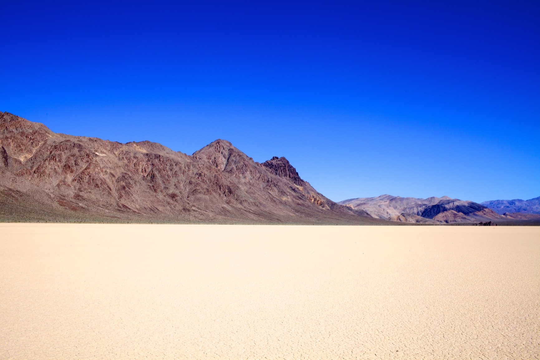
Flats, used in plural form, refer to a relatively flat area of land with more prominent landforms that surround it. A flat, when used in singular form, refers to a dry lake or lake bed such as a salt flat or mud flat.
Flats are a floodplain or former floodplain, formed by repeated flooding that distributes sediment evenly over the land.
Flats as part of a floodplain can be a few square miles, or cover hundreds of square miles.
Flats as part of a floodplain can be found near a river. As part of a former floodplain, flats can sometimes be found at higher elevations.
• Minto Flats State Game Refuge near Fairbanks, Alaska
• Allapattah Flats Wildlife Management Area, Martin County, Florida
• Rocky Flats National Wildlife Refuge near Denver, Colorado
• Cape Flats, Capetown, South Africa
About 35 miles west of Fairbanks, Alaska, the Minto Flats State Game Refuge is a portion of floodplain for the Tanana River. Other rivers provide water for wetlands in the area that support a variety of wildlife, draining into the Tanana River.
The area provides food and resources for the Athabaskan Indians as one of their traditional hunting grounds. The Allapattah Flats Wildlife Management Area of Florida includes many wetland areas as part of the floodplain for the St. John’s River of Martin County. Many kinds of waterfowl that include rare and endangered species inhabit the area as well as white-tailed deer and other wildlife.
The St. John’s River area suffered much from population growth and overdevelopment and restorations efforts have increased in recent years. The Rocky Flats National Wildlife Refuge of Colorado is the former site of a nuclear weapons production facility 16 miles northwest of Denver.
The area was badly contaminated from plutonium fires and radiation leaking into the air and ground. A cleanup of the area took place on the ground’s surface, while below ground the area remains heavily contaminated and is closed to the public. Southeast of the Capetown business district, Cape Flats lies close to the Cape Peninsula of South Africa. The flats are a low lying area that may have been below sea level only a few thousand years ago.
A floodplain or former floodplain that is relatively flat, surrounded by more prominent landforms
We want pictures and location of the lanforms around the world and we need your help. Click get started button below.

In Asia, China, India, Nepal, and Bhutan are home to one of the eight wonders of the world and one of the most beautiful mountains in the world, the Himalaya Mountains also called the Himalayas. Boasting as the world’s highest and most famous mountain peak, Mt. Everest. Within the verse of the ‘Kumarsambhava’, Sanskrit […]

Nature have provided us with fascinating landforms and features. The most often adored landforms are volcanoes. Like the perfect cone structure of Mayon Volcano in the Philippines or Mount Fiji in Japan, people look at their beauty and wonder with great appreciation to nature. Volcanoes are mountains with a very disastrous nature. Their only […]

Taal Volcano is the second most active volcano found in the province of Batangas. A complex volcano in the middle of Taal Lake and is often called an island within a lake, that is an island within a lake that is on an island as well as one of the lowest volcano in the […]

Mayon Volcano is one of the active volcanoes in the Philippines. Located in the southern part of Luzon about 473 kilometers (294 miles) from Makati Business District of the Philippines, Mount Mayon is the main landmark of the Province of Albay of Bicol Region. According to local folklore, the volcano was named after Daragang […]

The global temperature and weather is to a large extent a direct result of the sun’s effect to our planet. Together with the atmosphere and the rotation of the earth on its axis. The earth on which weather moves on has its own effect on the weather. The different landforms like mountains, volcanoes, plains, and the […]

