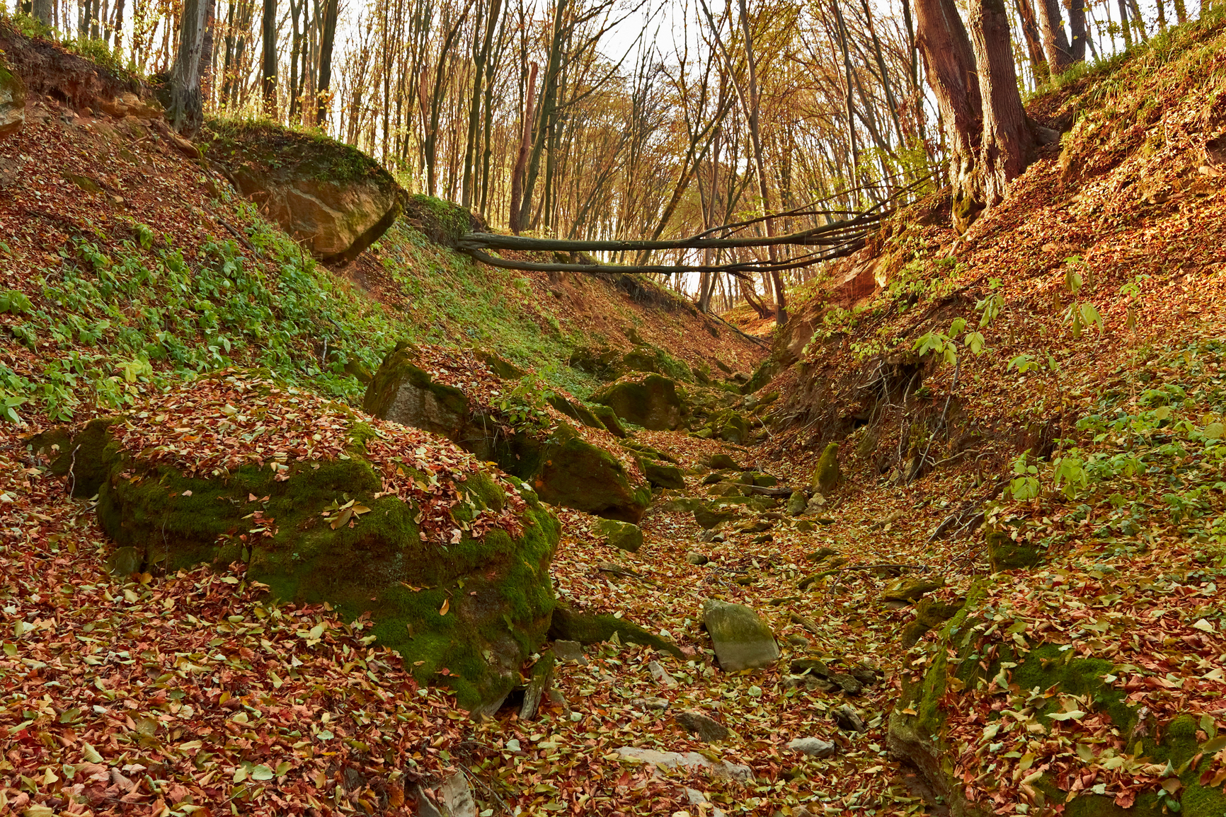
Waterfall Gully, Cleland Conservation Park, Adelaide, South Australia
The gully picture above is taken during the fall season.
A gully is a channel cut into the soil, usually in a hillside, formed by running water. It can be in the form of a ditch or a small valley.
Spring runoff or a former stream on a hillside or mountainside can form a gully. A lack of vegetation allows the soil to erode more easily. Artificial gullies are also formed during some mining operations when large amounts of water are used to flush out deposits.
A gully can be from 5 or 6 feet in width and depth, up to a couple hundred feet or more.
A gully can be found on hillsides or mountainsides where spring runoff may carve channels into the soil.
• Waterfall Gully, Cleland Conservation Park, Adelaide, South Australia
• Airplane Gully near Mount Navajo, Colorado
• Fern Gully, Ocho Rios, Jamaica
Three miles from the center of the capital city of Adelaide in South Australia, Waterfall Gully is a popular scenic area for hiking and tourists as part of Cleland Conservation Park. It has a long gully with a waterfall at one end and more trails for hiking.
Airplane Gully is found at an elevation of more than 11,000 feet in Colorado near the Mountain Peaks of Navajo and Apache and Lake Isabell. The area is particulary beautiful with mountain lakes and wildflowers. However, the gully is not a scenic place, known only for the fact that a light aircraft crashed there sometime in the past.
The wreckage is still there to be seen. Fern Gully of Jamaica is a 3 mile gully with a road running through it, named for the great number of ferns of different varieties that grow there. The road passes through a tunnel of ferns and also has bananas and other species growing in the area.
A small river that ran through the gully stopped flowing after an earthquake. A road was built over the riverbed in 1907 and the gully has become a popular tourist site.
A channel formed by running water in a hillside or mountainside.
We want pictures and location of the lanforms around the world and we need your help. Click get started button below.

In Asia, China, India, Nepal, and Bhutan are home to one of the eight wonders of the world and one of the most beautiful mountains in the world, the Himalaya Mountains also called the Himalayas. Boasting as the world’s highest and most famous mountain peak, Mt. Everest. Within the verse of the ‘Kumarsambhava’, Sanskrit […]

Nature have provided us with fascinating landforms and features. The most often adored landforms are volcanoes. Like the perfect cone structure of Mayon Volcano in the Philippines or Mount Fiji in Japan, people look at their beauty and wonder with great appreciation to nature. Volcanoes are mountains with a very disastrous nature. Their only […]

Taal Volcano is the second most active volcano found in the province of Batangas. A complex volcano in the middle of Taal Lake and is often called an island within a lake, that is an island within a lake that is on an island as well as one of the lowest volcano in the […]

Mayon Volcano is one of the active volcanoes in the Philippines. Located in the southern part of Luzon about 473 kilometers (294 miles) from Makati Business District of the Philippines, Mount Mayon is the main landmark of the Province of Albay of Bicol Region. According to local folklore, the volcano was named after Daragang […]

The global temperature and weather is to a large extent a direct result of the sun’s effect to our planet. Together with the atmosphere and the rotation of the earth on its axis. The earth on which weather moves on has its own effect on the weather. The different landforms like mountains, volcanoes, plains, and the […]

