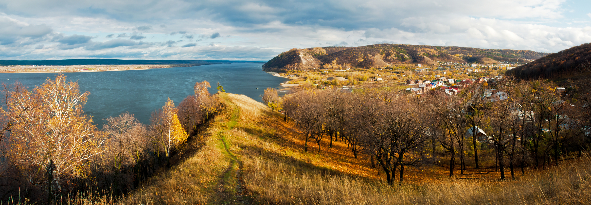
Mississippi River floodplain, USA
The floodplain picture is also of a mountain view above.
A floodplain is a primarily flat area of land bordering a river that floods when the river is unusually high. If the area has flooded at least once during the last 100 years, it may be considered an active floodplain.
A floodplain is formed by the action of water that redistributes sediment evenly during repeated flooding.
A floodplain may be only a few square miles, or in some cases cover tens of thousands of square miles of land.
A floodplain can be found bordering many rivers where flooding has occurred.
• Mississippi River floodplain, USA
• Pantanal floodplain, Brazil, Bolivia and Paraguay
• Amazon River floodplain, Brazil
• Ganges River and Brahmaputra River floodplain, Bangladesh and India
The Mississippi River has a large floodplain covering large portions of midwestern states through which it flows. Ninety percent of this area is no longer flooded annually due to levees designed to hold the water back. As a result, farmland no longer receives the benefits of flooding that can enrich the soil. Because there is so much flood control, the level of the river can rise much higher.
When a levee breaks, the flooding can be much worse as occurred most recently in 2011. Along the Paraguay River in west-central Brazil and parts of Bolivia and Paraguay lies the Pantanal, a floodplain of more than 77,000 square miles.
The Pantanal is considered one of the richest ecosystems in the world, created by the annual flooding of the land. Swamps, grasslands and forested areas are all found in this region which supports more than 700 species of birds and large mammals, including many endangered species that are hard to find in other areas.
The Amazon River floods approximately 100,000 square miles of rainforest covered floodplain each year during the wet season, maintaining the soil and the rich nature of the habitat. Over one third of the world’s known species of plant and animal life are found here.
In the countries of India and Bangladesh, an extensive floodplain borders the Ganges and Brahmaputra rivers. The floodplain covers 80% of Bangladesh and annual flooding kills hundreds of people each year. When flooding is greatest, over 75% of the country may be covered by water, causing much loss of life and property. During the flooding of 2007, over 1100 lives were lost.
A flat area of land next to a river that floods when the river is very high.
Related: Flats
We want pictures and location of the lanforms around the world and we need your help. Click get started button below.

In Asia, China, India, Nepal, and Bhutan are home to one of the eight wonders of the world and one of the most beautiful mountains in the world, the Himalaya Mountains also called the Himalayas. Boasting as the world’s highest and most famous mountain peak, Mt. Everest. Within the verse of the ‘Kumarsambhava’, Sanskrit […]

Nature have provided us with fascinating landforms and features. The most often adored landforms are volcanoes. Like the perfect cone structure of Mayon Volcano in the Philippines or Mount Fiji in Japan, people look at their beauty and wonder with great appreciation to nature. Volcanoes are mountains with a very disastrous nature. Their only […]

Taal Volcano is the second most active volcano found in the province of Batangas. A complex volcano in the middle of Taal Lake and is often called an island within a lake, that is an island within a lake that is on an island as well as one of the lowest volcano in the […]

Mayon Volcano is one of the active volcanoes in the Philippines. Located in the southern part of Luzon about 473 kilometers (294 miles) from Makati Business District of the Philippines, Mount Mayon is the main landmark of the Province of Albay of Bicol Region. According to local folklore, the volcano was named after Daragang […]

The global temperature and weather is to a large extent a direct result of the sun’s effect to our planet. Together with the atmosphere and the rotation of the earth on its axis. The earth on which weather moves on has its own effect on the weather. The different landforms like mountains, volcanoes, plains, and the […]

