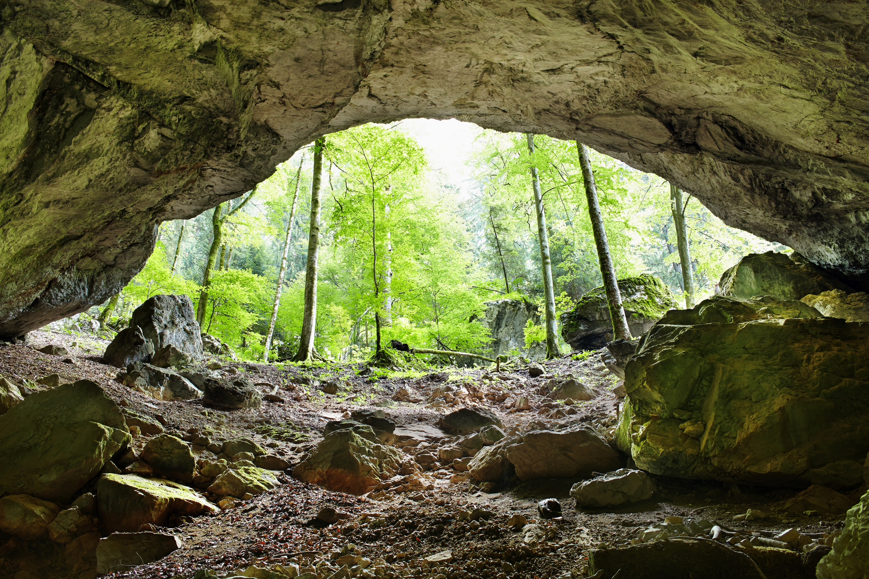
A cave is a hollow space below the ground or inside a mountain or other elevated landform.
Wind and waves can form caves along the shoreline in soft rock formations. Wind and rain can erode limestone that lay under a hard layer of rock, forming a cave. Freeze-thaw erosion can also lead to cave formation. The presence of groundwater can dissolve limestone deposits, forming caves underground. If the top of a cave is covered with a hard rock layer, the cave may last for a long period of time.
However, if the top of a cave is limestone, it may eventually weaken from exposure to water and cause the cave to collapse. Carbonic acid in groundwater and organic acids from the soil are often present to help dissolve limestone and form caverns underground. In some cases, sulfuric acid may be present in the groundwater, created from sulfuric gases rising from oil deposits below.
Lava from volcanic activity can also form caves and other openings in the ground. As lava flows, the surface can cool and harden. Inside this form, the lava may still be hot and drain away, creating a tube or other form. Later this may be covered by sediment and remain underground.
A cave is a hollow space large enough to allow a person to enter by walking or crawling. The largest caves have hundreds of miles of passages underground.
Caves are found all over the world where soft rock formations have been exposed to weather, waves or groundwater.
Carlsbad Caverns, New Mexico, USA
Krubera Cave (or Voronya Cave), Abkhazia, Georgia (Eastern Europe)
Mammoth Cave, Kentucky, USA
Sistema Ox Bel Ha, Quintana Roo, Mexico
Carlsbad Cavern is found at Carlsbad Caverns National Park in southeastern New Mexico. The Big Room is an area of the cavern that is almost 4000 feet long and 225 feet high. Krubera Cave is the deepest known cave in the world at 7208 feet below the entrance in Abkhazia, Georgia.
Mammoth Cave in Kentucky has about 400 miles of surveyed passages, more than any other cave in the world. Some reports indicate that Mammoth cave may extend much further, although unconfirmed. The longest known underwater cave in the world, called Sistema Ox Bel Ha, is found in Quintana Roo, Mexico with 160 miles of surveyed passages.
A hollow space that exists underground, or inside an elevated landform, large enough to allow a person to enter
We want pictures and location of the lanforms around the world and we need your help. Click get started button below.

In Asia, China, India, Nepal, and Bhutan are home to one of the eight wonders of the world and one of the most beautiful mountains in the world, the Himalaya Mountains also called the Himalayas. Boasting as the world’s highest and most famous mountain peak, Mt. Everest. Within the verse of the ‘Kumarsambhava’, Sanskrit […]

Nature have provided us with fascinating landforms and features. The most often adored landforms are volcanoes. Like the perfect cone structure of Mayon Volcano in the Philippines or Mount Fiji in Japan, people look at their beauty and wonder with great appreciation to nature. Volcanoes are mountains with a very disastrous nature. Their only […]

Taal Volcano is the second most active volcano found in the province of Batangas. A complex volcano in the middle of Taal Lake and is often called an island within a lake, that is an island within a lake that is on an island as well as one of the lowest volcano in the […]

Mayon Volcano is one of the active volcanoes in the Philippines. Located in the southern part of Luzon about 473 kilometers (294 miles) from Makati Business District of the Philippines, Mount Mayon is the main landmark of the Province of Albay of Bicol Region. According to local folklore, the volcano was named after Daragang […]

The global temperature and weather is to a large extent a direct result of the sun’s effect to our planet. Together with the atmosphere and the rotation of the earth on its axis. The earth on which weather moves on has its own effect on the weather. The different landforms like mountains, volcanoes, plains, and the […]

