Amazon River, South America
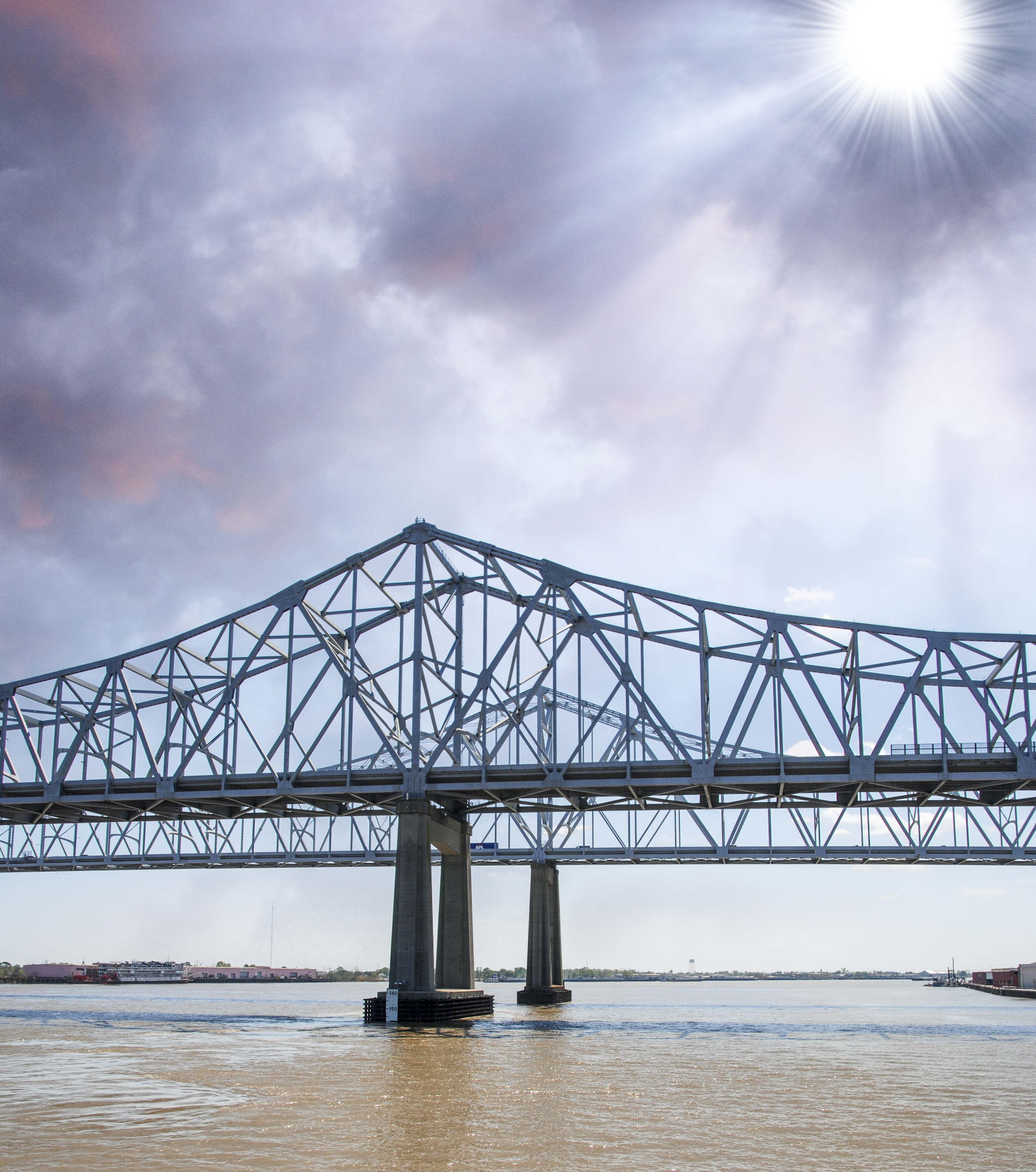
The drainage basin picture above is of the Mississippi River in New Orleans.
A drainage basin is the area of land that provides all water for a river that eventually exits to another body of water (another river, a lake, sea or ocean). The exit is the end of the drainage basin and is also referred as a watershed and catchment area.
This includes water from rain and melting snow. For example, all water in the Missouri River drainage basin exits to the Mississippi River. The Missouri River drainage basin is a part of the Mississippi River drainage basin, which exits to the Gulf of Mexico.
A drainage basin is formed by the action of water as it forms streams and rivers that flow downhill.
A drainage basin depends upon the size of the river and its tributaries. The Mississippi River Drainage Basin includes all or part of 31 states and two Canadian provinces.
All rivers and streams have a drainage basin.
• Amazon River, South America
• Congo River, Africa
• Mississippi River, North America
The Amazon River has the largest drainage basin in the world, covering the Amazon rainforest and a large portion of South America. The average total amount of water leaving the Amazon River is more than the next 7 largest rivers combined. 20% of the worlds fresh water flows through the Amazon on its way to the Atlantic Ocean.
The second largest drainage basin feeds the Congo River of Africa from an area that includes the second largest rainforest in the world. The Congo also has the second largest discharge of water, after the Amazon River and is the world’s deepest river at 720 feet.
The Mississippi River Drainage Basin is the fourth largest in area, after the Nile River Drainage Basin. The Mississippi also has the fourth largest discharge of water, after the Rio de la Plata in South America.
The area of land feeding all water that enters a river, leaving at a discharge point to another body of water.
We want pictures and location of the lanforms around the world and we need your help. Click get started button below.

In Asia, China, India, Nepal, and Bhutan are home to one of the eight wonders of the world and one of the most beautiful mountains in the world, the Himalaya Mountains also called the Himalayas. Boasting as the world’s highest and most famous mountain peak, Mt. Everest. Within the verse of the ‘Kumarsambhava’, Sanskrit […]

Nature have provided us with fascinating landforms and features. The most often adored landforms are volcanoes. Like the perfect cone structure of Mayon Volcano in the Philippines or Mount Fiji in Japan, people look at their beauty and wonder with great appreciation to nature. Volcanoes are mountains with a very disastrous nature. Their only […]

Taal Volcano is the second most active volcano found in the province of Batangas. A complex volcano in the middle of Taal Lake and is often called an island within a lake, that is an island within a lake that is on an island as well as one of the lowest volcano in the […]

Mayon Volcano is one of the active volcanoes in the Philippines. Located in the southern part of Luzon about 473 kilometers (294 miles) from Makati Business District of the Philippines, Mount Mayon is the main landmark of the Province of Albay of Bicol Region. According to local folklore, the volcano was named after Daragang […]

The global temperature and weather is to a large extent a direct result of the sun’s effect to our planet. Together with the atmosphere and the rotation of the earth on its axis. The earth on which weather moves on has its own effect on the weather. The different landforms like mountains, volcanoes, plains, and the […]

